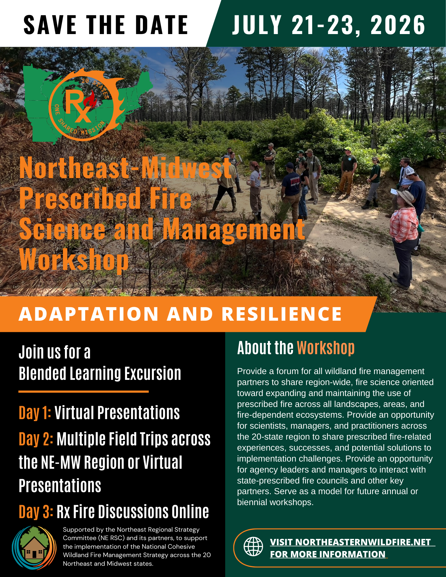
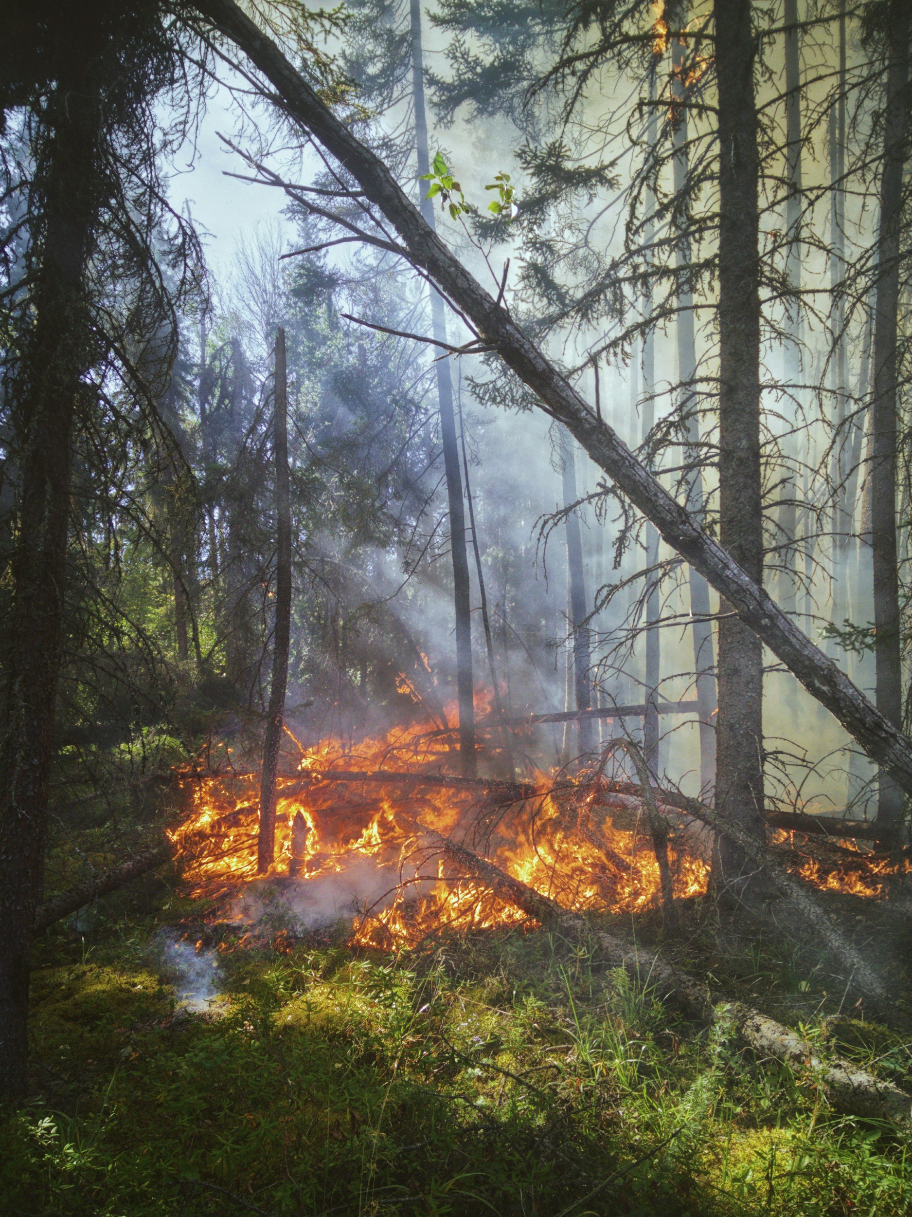
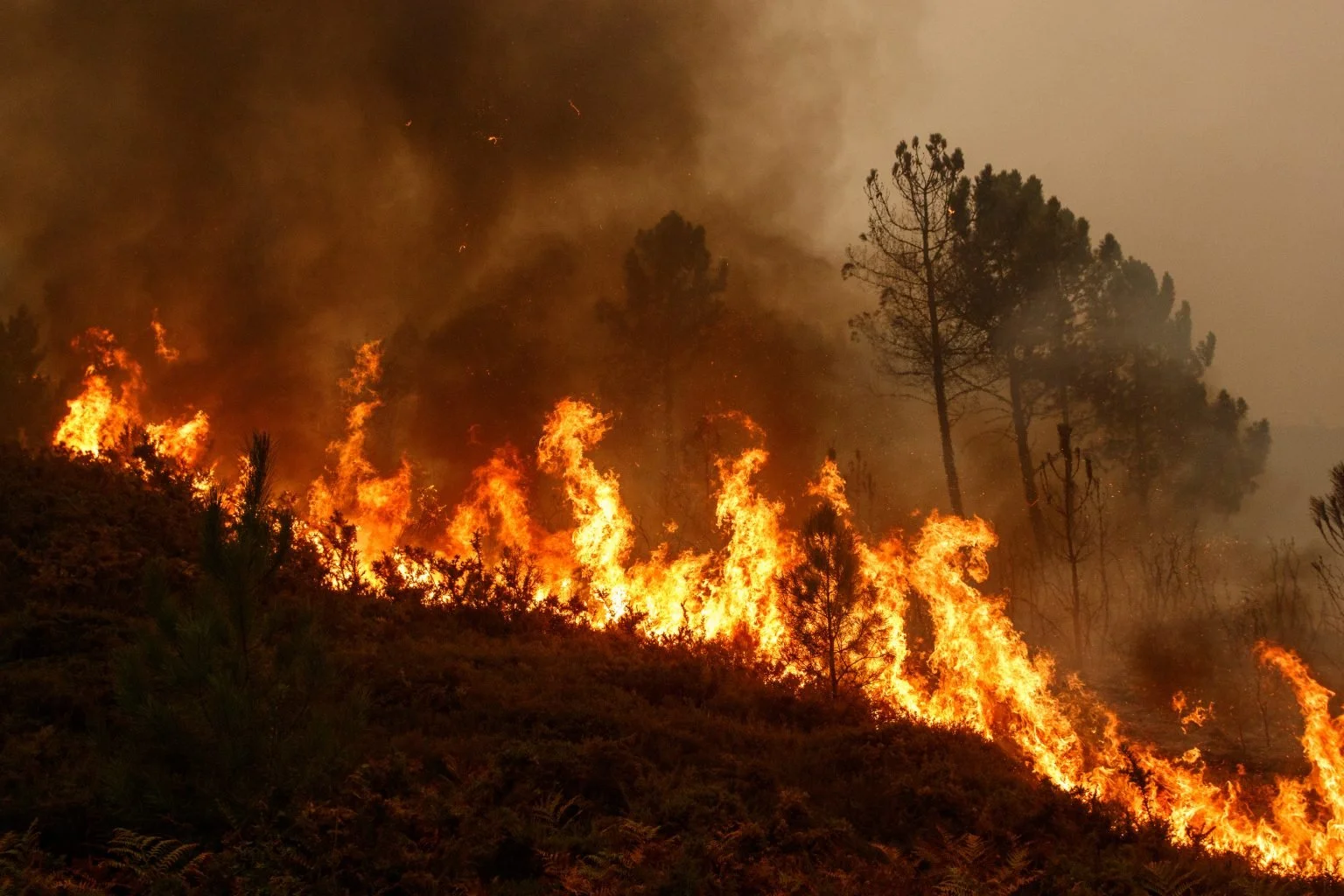
Leveraging the Treatment and Wildfire Interagency Geodatabase (TWIG): An Open-Access Tool for Exploring National Wildfire and Fuel Treatment Interactions
This webinar will introduce Southwest Ecological Restoration Institute’s ReSHAPE program and the Treatment and Wildfire Interagency Geodatabase (TWIG). TWIG is a “comprehensive, open-access geodatabase and interactive viewer that compiles existing fuel treatment and wildfire data from the U.S. Department of Agriculture Forest Service and Department of the Interior systems of record, covering all 50 states and 9 territories.”